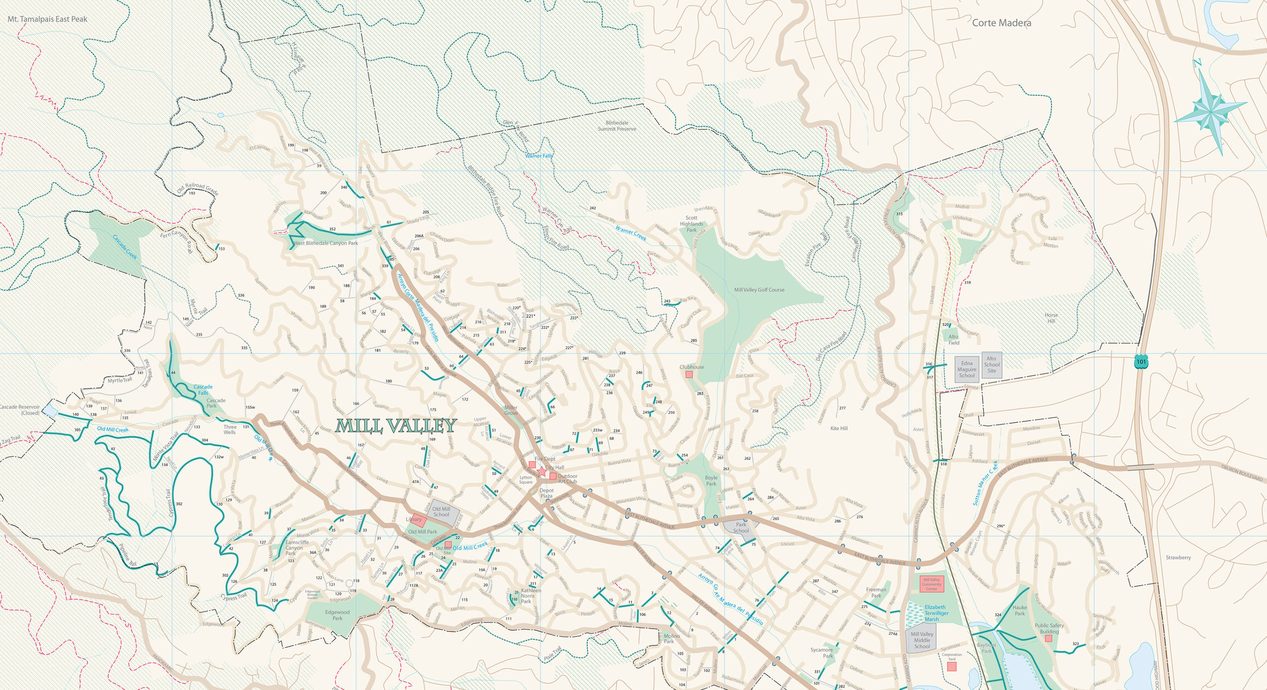
Maps
Two maps of the City of Mill Valley’s SLPs are available. One is specifically a map of those developed routes that one can walk or hike on, the other is a map of all routes, developed and undeveloped, that the City has rights to. We refer to them as the “Hiking Guide” and the “Purple Inventory Map." There are many undeveloped routes on the Purple Inventory Map that are steep drainages, utility easements or simple paper map rights-of-ways that are not accessible by pedestrians; the Inventory map is used by the City primarily to manage encroachments.
All SLPs that can be walked on are signed and numbered at both ends and show up as green lines on the Hiking Guide. If you think you are going to walk on an SLP, but it is not on green on the Hiking Guide or there is no signage, then it is not a traversable SLP.